AROUND THE CITY
Oxnard photo wall
A look at the harbor, local history and the places that make this city home.
A closer look
Around Oxnard

Carneige Art Museum 2, Oxnard (cropped)
Carnegie Art Museum, 424 S. C St., Oxnard, California

Downtown Oxnard
Downtown Oxnard

Downtown Oxnard Fountain
Downtown Oxnard Fountain

Downtown Oxnard, California Fountain
Downtown Oxnard, California Fountain

Embassy Suites at Sunset, Oxnard, CA, USA, May 2009
Embassy Suites at Sunset, Oxnard, CA, USA, May 2009

Henri's Café from the parking lot
Henri's Café from the parking lot

Oxnard Skyline 2
The skyline of Oxnard California in 2005

Cal lutheran university oxnard center
Cal Lutheran Oxnard Center

Food Share at Oxnard Strawberry Festival 2012
A Food Share truck is seen parked in front of their booth at the California Strawberry Festival in College Park (Oxnard). Food Share is a food bank operating in Ventura County, California.

Hampton Inn Oxnard Aerial
Southern View of Channel Islands Marina with the Pacific Ocean in the background and the Hampton Inn on the left.

Oxnard Festival Fun
Oxnard Festival Fun

Oxnard High School
Marquee in front of school

Oxnard Highrise
Oxnard, California skyline with Topa Financial Tower, highest building in Ventura County

Oxnard Palm Trees (16785479183)
Palm Trees in Oxnard, California on a former routing of California State Route 1 .

Oxnard Salsa Festival
Oxnard Salsa Festival

Oxnard, Ventura, Santa Paula, and Camarillo, Oxnard Plain, California
The Oxnard Plain is a large alluvial coastal plain in southwest Ventura County, California, United States that that covers over 200 square miles (520 km2).

Rio Lindo, Oxnard, CA 93036, USA (1)
Panorama d'Oxnard, Californie.

Rio Lindo, Oxnard, CA 93036, USA - Mountain Mike Johans… (1)
Rio Lindo, Oxnard, CA 93036, USA

SantaPaula-Ventura-OxnardCA-Aerial (35948279465)
SantaPaula-Ventura-OxnardCA-Aerial (35948279465)

Tractor on CA34, Oxnard 20150525 (cropped)
A farmworker drives a tractor east on State Route 34 in Oxnard, California, in an overcast morning of May, 2015. Farmland can be seen to the right, behind which lies an oil well and its facilities behind a tree line. The Santa Monica Mountains and Conejo Mountain, the tallest peak in view, are in the background.
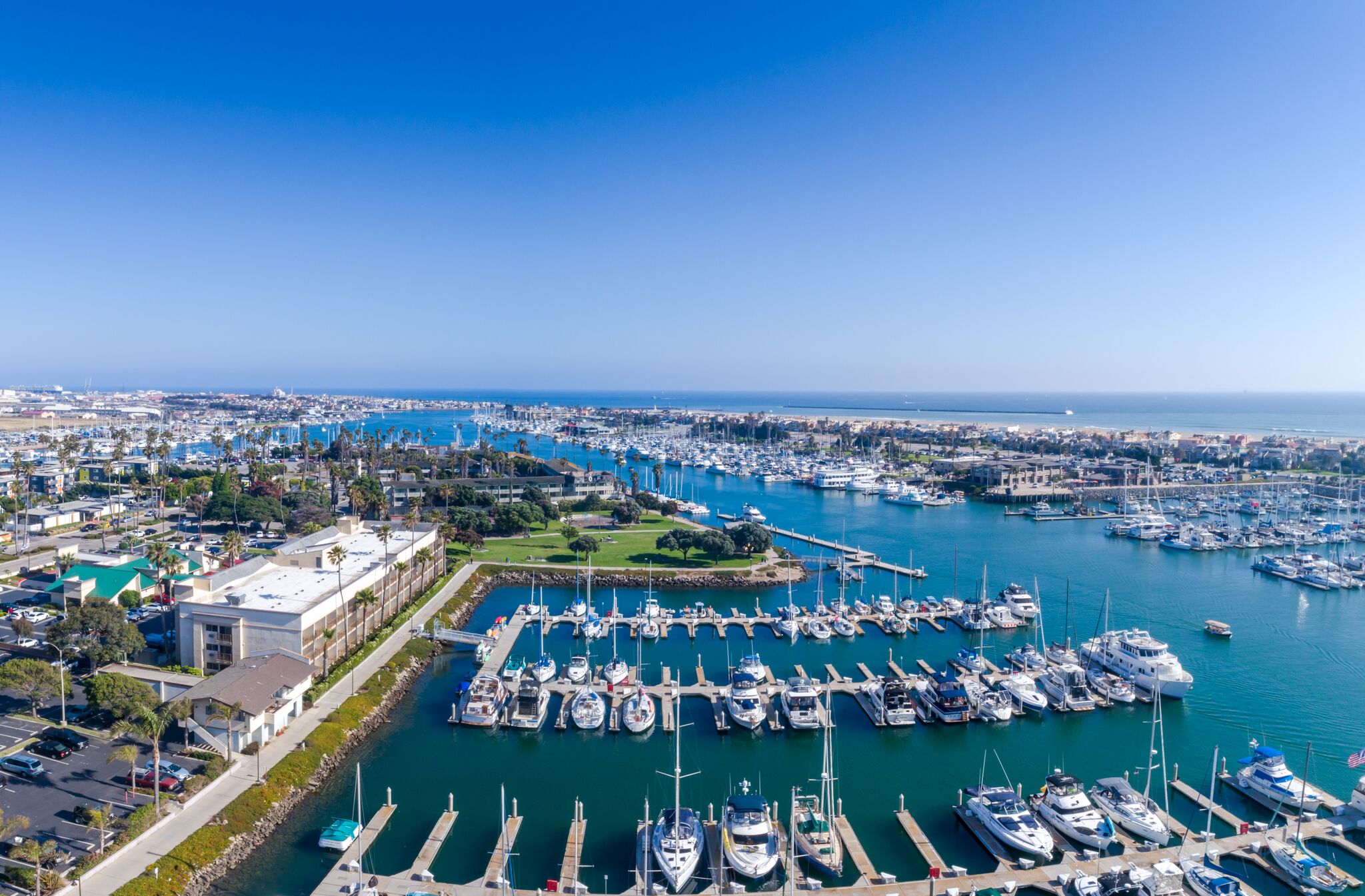
Channel Islands Harbor
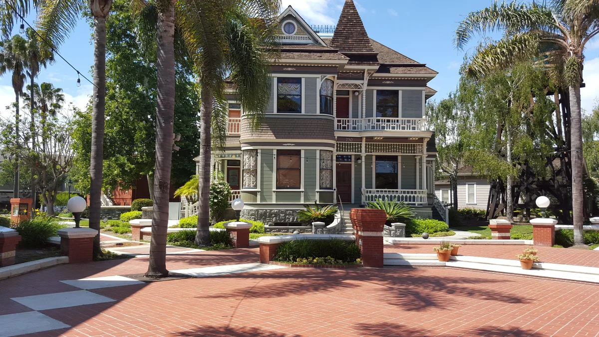
Heritage Square
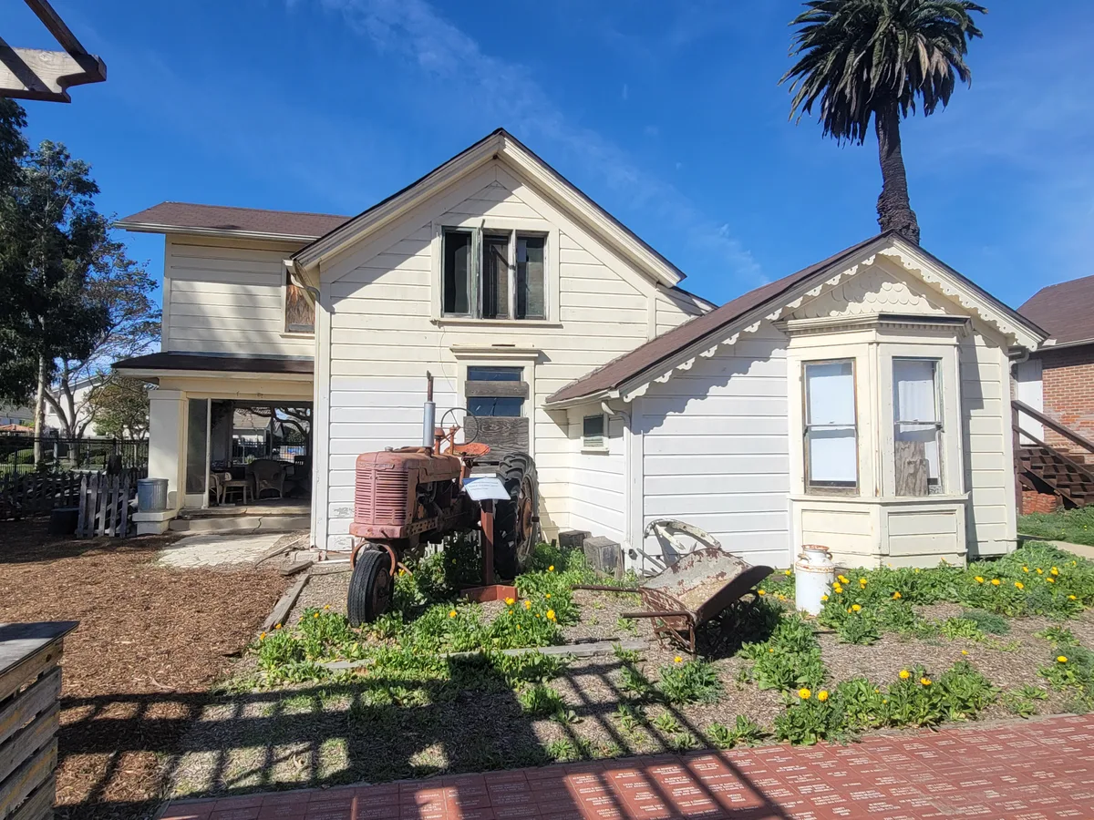
Oxnard Historic Farm Park
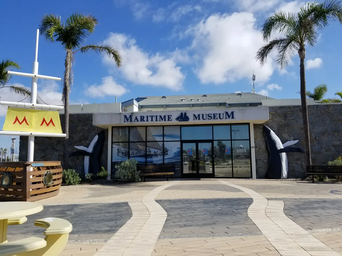
Channel Islands Maritime Museum
Show us your Oxnard
Have a photo you took and would like to share? Send a link and tell us where it was taken. Submissions are reviewed before publication.
Share a photo →