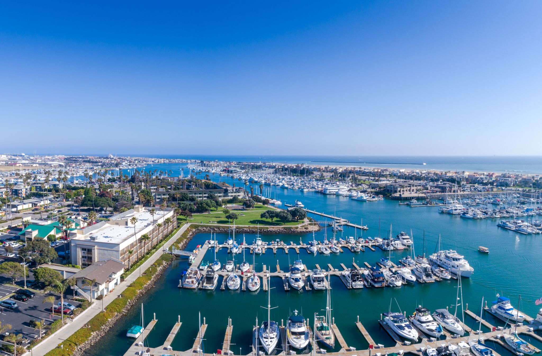
Aerial view of Channel Islands Harbor in Oxnard

Outdoors

Boating and kayaking near Oxnard

Lakes, reservoirs and rivers near Oxnard for boating, kayaking, canoeing and paddleboarding.

Good to know: Life jackets are required for children on most waters, and many lakes require an invasive-species inspection or a launch fee.

Within 30 miles (3)

17 mi southwest · National Park Service · Campground

Anacapa Island

Once visitors have scaled the rugged cliffs using the stairwell from the Landing Cove, they will be rewarded with a campground perched on the bluffs with magnificent coastal views.

  • Beach
  • Birding
  • Boating
  • Camping
  • Fishing
  • Guided Interpretive Walks
  • Hiking
  • History

18 mi northwest · Bureau of Reclamation

Lake Casitas

Lake Casitas is formed by Casitas Dam , which is a feature of the Ventura Project . Lake Casitas Recreation Area offers one of the nations best bass fishing areas.

  • Biking
  • Boating
  • Camping
  • Fishing
  • Hiking
  • Nature education
  • Picnicking
  • Ranger programs

24 mi southwest · National Park Service · Campground

Santa Cruz Island Scorpion

Fantastic ocean views and relaxing beach time is practically guaranteed at Scorpion Canyon Campground, the most family-friendly campsite on Santa Cruz Island.

  • Beach
  • Birding
  • Boating
  • Camping
  • Evening Programs
  • Fishing
  • Guided Interpretive Walks
  • Hiking

30 to 75 miles (9)

39 mi northeast · USDA Forest Service · Campground

Pyramid Lake - Emigrant Landing Day Use Area

This facility does not accept reservations. Emigrant Landing is the largest day use recreation area on beautiful Pyramid Lake. Located just 90 minutes from Los Angeles, it is the perfect getaway without the long drive.

  • Boating
  • Camping
  • Fishing
  • Water sports

39 mi northeast · USDA Forest Service · Campground

Pyramid Lake - Los Alamos Campground

Los Alamos Campground is located 90 minutes from Los Angeles, offering a restful experience without the lengthy travel time.

  • Biking
  • Boating
  • Camping
  • Fishing
  • Hiking
  • Swimming
  • Water sports
  • Wildlife viewing

40 mi east · US Army Corps of Engineers

Sepulveda Dam

The Sepulveda Dam's recreation facilities are managed by the City of Los Angeles Parks.

  • Biking
  • Boating
  • Picnicking
  • Water sports
  • Wildlife viewing

44 mi west · National Park Service

Channel Islands National Park

Channel Islands National Park encompasses five remarkable islands and their ocean environment, preserving and protecting a wealth of natural and cultural resources.

  • Boating
  • Camping
  • Diving
  • Fishing
  • Hiking
  • Paddling
  • Picnicking
  • Snorkeling

45 mi east · US Army Corps of Engineers

Hansen Dam

The City of Los Angeles manages the extensive day-use facilities, including golf and riding stables, are available at this site in the San Fernando Valley.

  • Boating
  • Hiking
  • Horseback riding
  • Picnicking
  • Water sports
  • Wildlife viewing

48 mi west · National Oceanic and Atmospheric Administration

Channel Islands National Marine Sanctuary

The waters that swirl around the five islands within Channel Islands National Marine Sanctuary create a special place for several species of plants and animals.

  • Boating
  • Diving
  • Fishing
  • Kayaking
  • Paddling
  • Photography
  • Ranger programs
  • Snorkeling

53 mi northwest · Bureau of Reclamation

Cachuma Lake

Cachuma Reservoir, formed by Bradbury Dam , offers a prime recreational opportunity for the south central coast area of California.

  • Biking
  • Boating
  • Camping
  • Fishing
  • Hiking
  • Horseback riding
  • Hotel/Lodge/Resort Fs Owned
  • Nature education

65 mi east · US Army Corps of Engineers

Whittier Narrows Dam

This project is managed by Los Angeles County Parks and the City of Pico Rivera. Whittier Narrows has no permanent pool.

  • Biking
  • Boating
  • Horseback riding
  • Picnicking
  • Water sports
  • Wildlife viewing

69 mi east · US Army Corps of Engineers

Santa Fe Dam

Facilities at Santa Fe are operated by Los Angeles County Parks. Swimming, fishing, non-power boating, hiking and picnicking are available. Of interest are the five distinct biological communities within the area.

  • Boating
  • Fishing
  • Picnicking
  • Water sports
  • Wildlife viewing

Distances are straight-line miles from downtown Oxnard. Listings come from Recreation.gov’s federal recreation database; check each official page for hours, fees, fire restrictions and closures before you go.

More outdoors near Oxnard

Questions

Where is the closest place for boating & paddling near Oxnard?

Anacapa Island (National Park Service), about 17 miles southwest of Oxnard as the crow flies. Next are Lake Casitas (18 mi) and Santa Cruz Island Scorpion (24 mi).

When is the best time for boating & paddling near Oxnard?

Based on Oxnard’s average highs, all year. Conditions at higher elevations can be much cooler.

Who manages these places?

Federal agencies including US Army Corps of Engineers, National Park Service, Bureau of Reclamation. Each listing links to its official page for hours, fees, closures and current conditions.

Oxnard AI

Your Oxnard local guide
Hey there!

I'm Oxnard AI. Ask me about local food, things to do, shopping, or a day by the harbor.

AI recommendations may be inaccurate. Verify hours and prices. Questions are processed by Cloudflare. Privacy