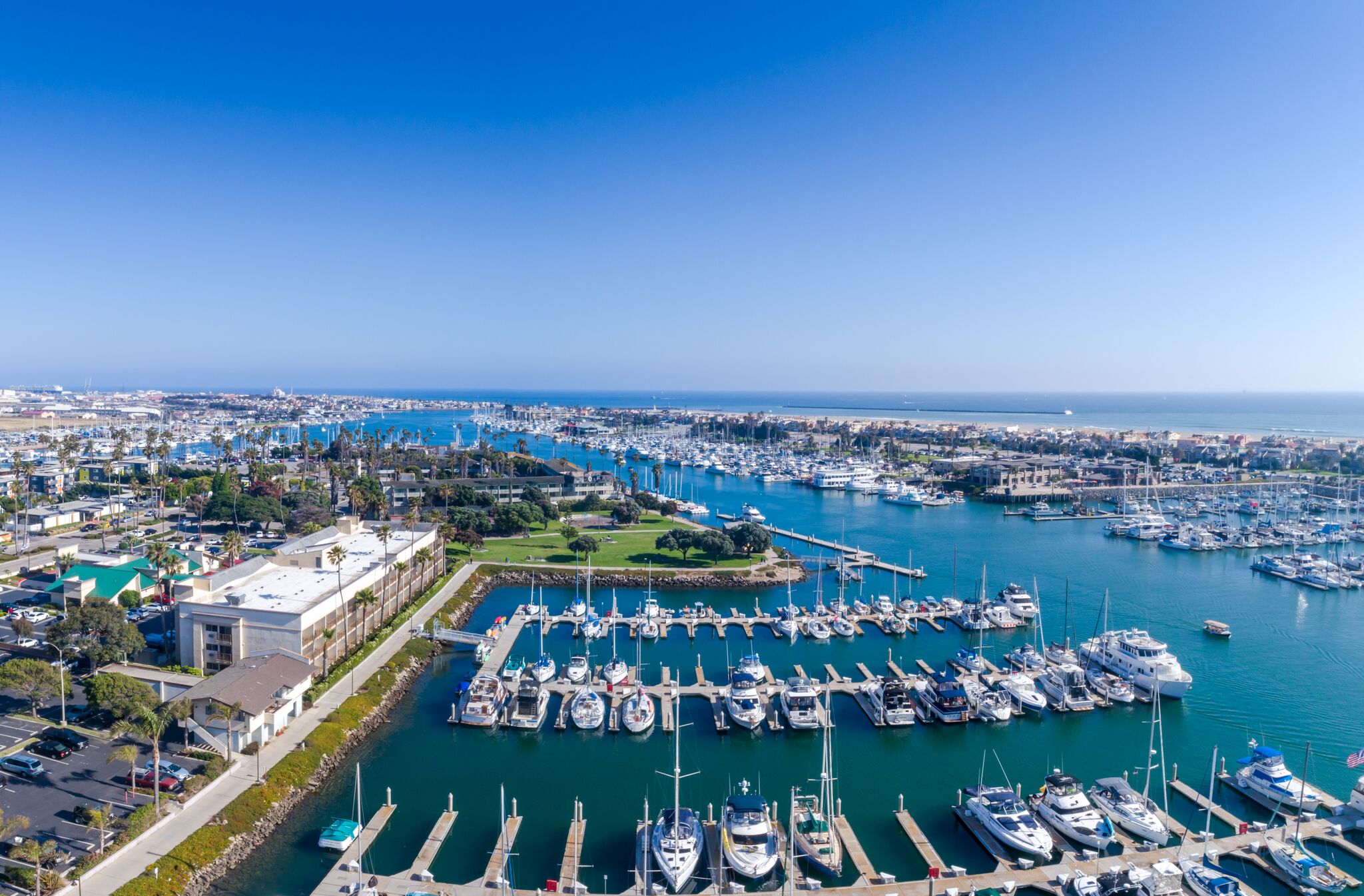
Aerial view of Channel Islands Harbor in Oxnard

Outdoors

Fishing near Oxnard

Lakes, rivers and recreation areas near Oxnard where fishing is allowed, closest first.

Good to know: Anyone 16 or older generally needs a state fishing license; seasons, limits and special rules vary by water. California license information ↗

Within 30 miles (4)

17 mi southwest · National Park Service · Campground

Anacapa Island

Once visitors have scaled the rugged cliffs using the stairwell from the Landing Cove, they will be rewarded with a campground perched on the bluffs with magnificent coastal views.

  • Beach
  • Birding
  • Boating
  • Camping
  • Fishing
  • Guided Interpretive Walks
  • Hiking
  • History

18 mi northwest · Bureau of Reclamation

Lake Casitas

Lake Casitas is formed by Casitas Dam , which is a feature of the Ventura Project . Lake Casitas Recreation Area offers one of the nations best bass fishing areas.

  • Biking
  • Boating
  • Camping
  • Fishing
  • Hiking
  • Nature education
  • Picnicking
  • Ranger programs

22 mi north · USDA Forest Service · Campground

Wheeler Gorge

Wheeler Gorge Campground is a great place for families to explore the Los Padres National Forest all year long. Informative tours of the area are led by forest rangers at the nearby visitor center.

  • Biking
  • Camping
  • Fishing
  • Hiking
  • Swimming

24 mi southwest · National Park Service · Campground

Santa Cruz Island Scorpion

Fantastic ocean views and relaxing beach time is practically guaranteed at Scorpion Canyon Campground, the most family-friendly campsite on Santa Cruz Island.

  • Beach
  • Birding
  • Boating
  • Camping
  • Evening Programs
  • Fishing
  • Guided Interpretive Walks
  • Hiking

30 to 75 miles (9)

34 mi north · USDA Forest Service · Campground

Reyes Creek Campground

Hammock spots, dipping holes and a fishing stream make Reyes Creek Campground an ideal hideaway. Located near the Sespe Wilderness alongside Reyes Creek you will find renewal and replenishment, Reyes Creek-style.

  • Biking
  • Camping
  • Fishing

39 mi northeast · USDA Forest Service · Campground

Pyramid Lake - Emigrant Landing Day Use Area

This facility does not accept reservations. Emigrant Landing is the largest day use recreation area on beautiful Pyramid Lake. Located just 90 minutes from Los Angeles, it is the perfect getaway without the long drive.

  • Boating
  • Camping
  • Fishing
  • Water sports

39 mi northeast · USDA Forest Service · Campground

Pyramid Lake - Los Alamos Campground

Los Alamos Campground is located 90 minutes from Los Angeles, offering a restful experience without the lengthy travel time.

  • Biking
  • Boating
  • Camping
  • Fishing
  • Hiking
  • Swimming
  • Water sports
  • Wildlife viewing

41 mi northwest · USDA Forest Service · Campground

Upper Oso Campground

Upper Oso Campground provides ample opportunity for exploration of California's coastal mountains. It is a family-friendly campground, equipped with equestrian sites, and is close to a variety of trails and several mountain streams.

  • Biking
  • Camping
  • Fishing
  • Hiking
  • Horseback riding
  • Swimming

42 mi northwest · USDA Forest Service · Campground

Sage Hill

Nestled in the Santa Ynez Mountain Range, Sage Hill Campground is a great group camping spot with easy access to the Santa Ynez River.

  • Camping
  • Fishing
  • Hiking
  • Horseback riding
  • Hunting
  • Swimming

44 mi west · National Park Service

Channel Islands National Park

Channel Islands National Park encompasses five remarkable islands and their ocean environment, preserving and protecting a wealth of natural and cultural resources.

  • Boating
  • Camping
  • Diving
  • Fishing
  • Hiking
  • Paddling
  • Picnicking
  • Snorkeling

48 mi west · National Oceanic and Atmospheric Administration

Channel Islands National Marine Sanctuary

The waters that swirl around the five islands within Channel Islands National Marine Sanctuary create a special place for several species of plants and animals.

  • Boating
  • Diving
  • Fishing
  • Kayaking
  • Paddling
  • Photography
  • Ranger programs
  • Snorkeling

53 mi northwest · Bureau of Reclamation

Cachuma Lake

Cachuma Reservoir, formed by Bradbury Dam , offers a prime recreational opportunity for the south central coast area of California.

  • Biking
  • Boating
  • Camping
  • Fishing
  • Hiking
  • Horseback riding
  • Hotel/Lodge/Resort Fs Owned
  • Nature education

69 mi east · US Army Corps of Engineers

Santa Fe Dam

Facilities at Santa Fe are operated by Los Angeles County Parks. Swimming, fishing, non-power boating, hiking and picnicking are available. Of interest are the five distinct biological communities within the area.

  • Boating
  • Fishing
  • Picnicking
  • Water sports
  • Wildlife viewing

75 miles and farther (1)

79 mi east · US Army Corps of Engineers

Carbon Canyon Dam

Managed by Orange County, there is no permanent pool, but varied facilities such as fishing, picnic areas, a nature trail, and tennis. The site of the historic oil boom town of Olinda. Adjoins Chino Hills State Park.

  • Fishing
  • Hiking
  • Picnicking
  • Wildlife viewing

Distances are straight-line miles from downtown Oxnard. Listings come from Recreation.gov’s federal recreation database; check each official page for hours, fees, fire restrictions and closures before you go.

More outdoors near Oxnard

Questions

Where is the closest place for fishing near Oxnard?

Anacapa Island (National Park Service), about 17 miles southwest of Oxnard as the crow flies. Next are Lake Casitas (18 mi) and Wheeler Gorge (22 mi).

Do I need a fishing license near Oxnard?

Yes, anglers 16 and older generally need a California fishing license from the state wildlife agency. Rules, seasons and limits vary by water.

Who manages these places?

Federal agencies including USDA Forest Service, National Park Service, Bureau of Reclamation. Each listing links to its official page for hours, fees, closures and current conditions.

Oxnard AI

Your Oxnard local guide
Hey there!

I'm Oxnard AI. Ask me about local food, things to do, shopping, or a day by the harbor.

AI recommendations may be inaccurate. Verify hours and prices. Questions are processed by Cloudflare. Privacy